travel europe greece the island of santorini/thira around the island

The island of Santorini/Thira is dramatic in its formation as what is left after one of the largest volcanic eruptions in recorded history.
The Minoan eruption, sometimes called the Thera eruption, about 3,600 years ago, is said to have contributed to the collapse of the Minoan civilization centered on Crete 68 miles to the south.
LINK TO WIKIPEDIA'S WEB PAGE ON SANTORINI
TRAVEL: 1978, October 1984, August 2013

This location has earned a 5 star (excellent) rating from
Travel Fanatics Unlimited
*****
unless noted otherwise all images copyright d. holmes chamberlin jr architect llc
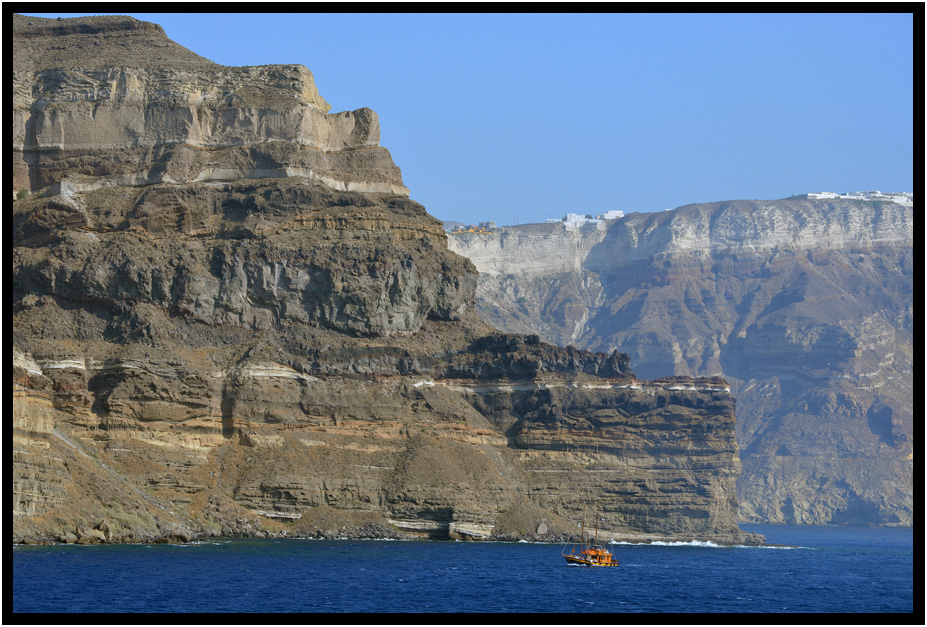
Impressive cliffs along the southern approach to Santorini, Greece, 2013.
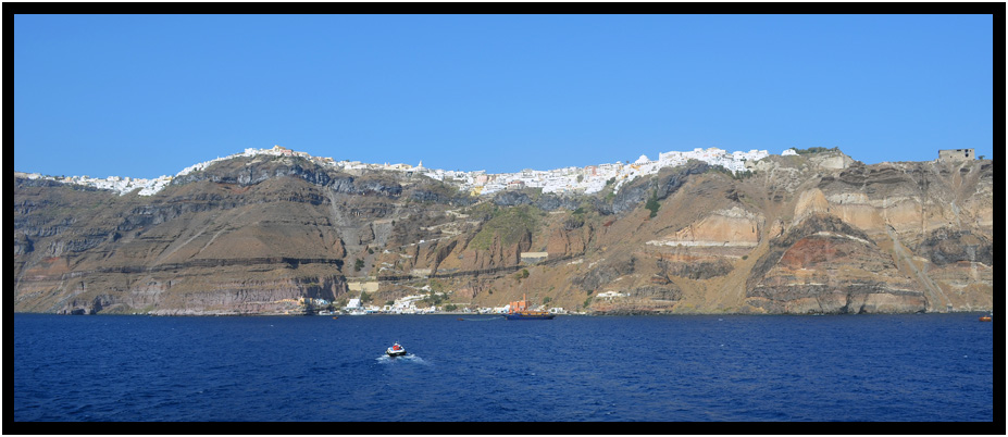
The village of Thira above the central part of the caldera, Santorini, Greece, 2013.
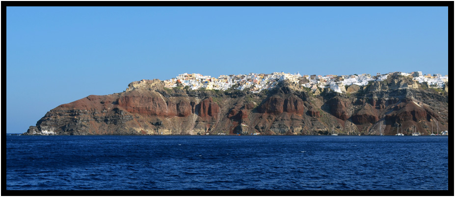
The village of Oia on the cliffs above the northern end of the caldera, Santorini, Greece, 2013.
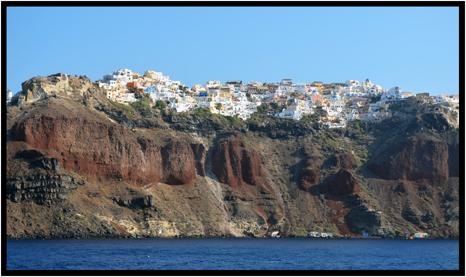
A closer look at the village of Oia on the cliffs above the caldera, Santorini, Greece, 2013.
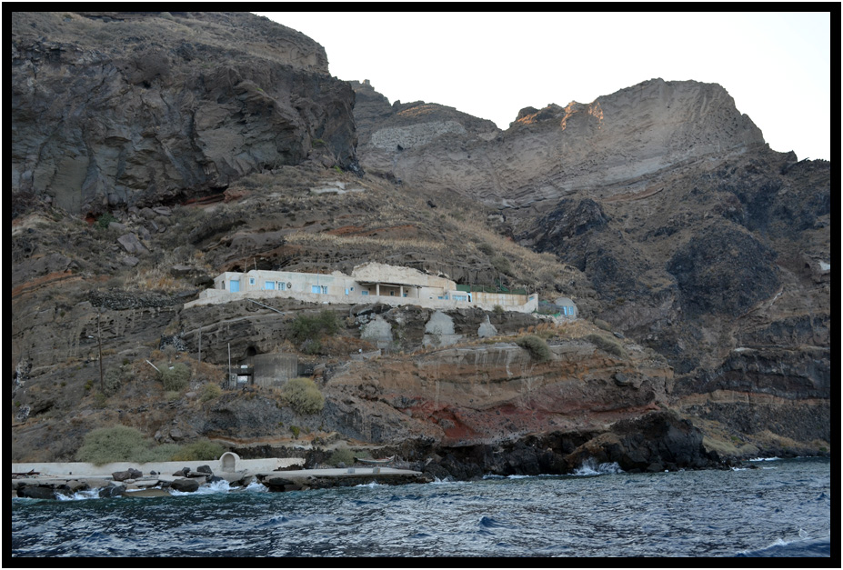
House on the cliff along the caldera, Santorini, Greece, 2013.
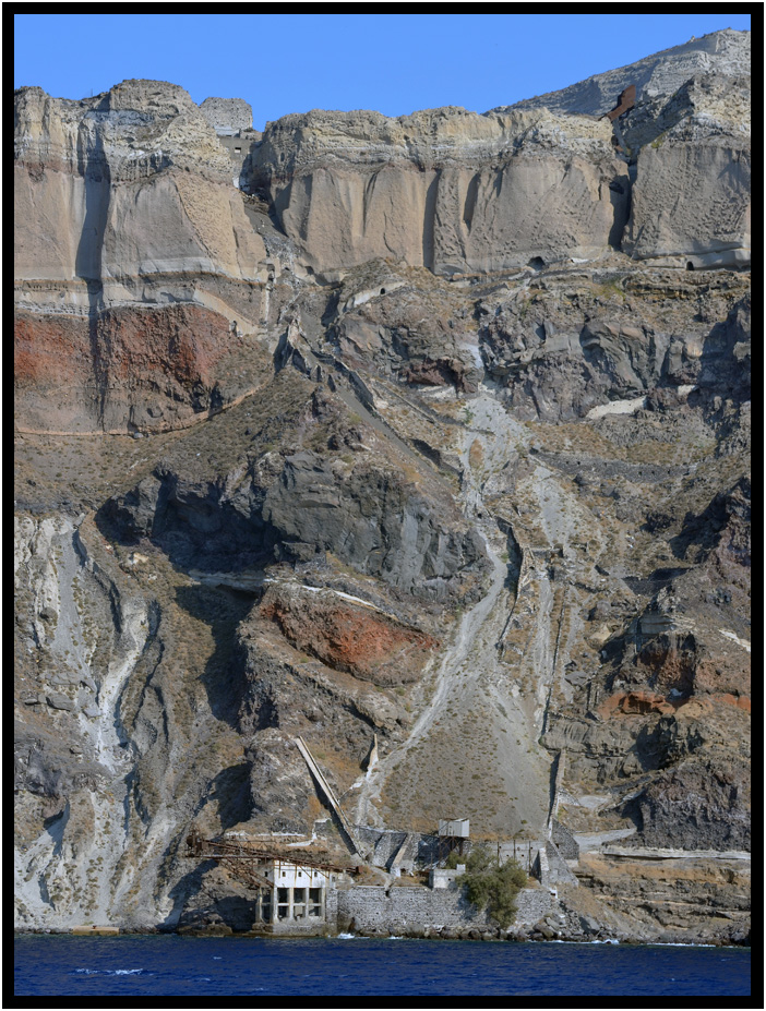
An old mining operation along the cliffs, Santorini, Greece, 2013.
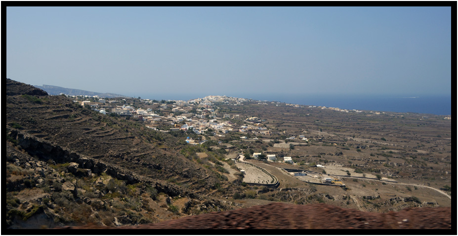
Looking northeast towards Oia from the central high ridge, Santorini, Greece, 2013.
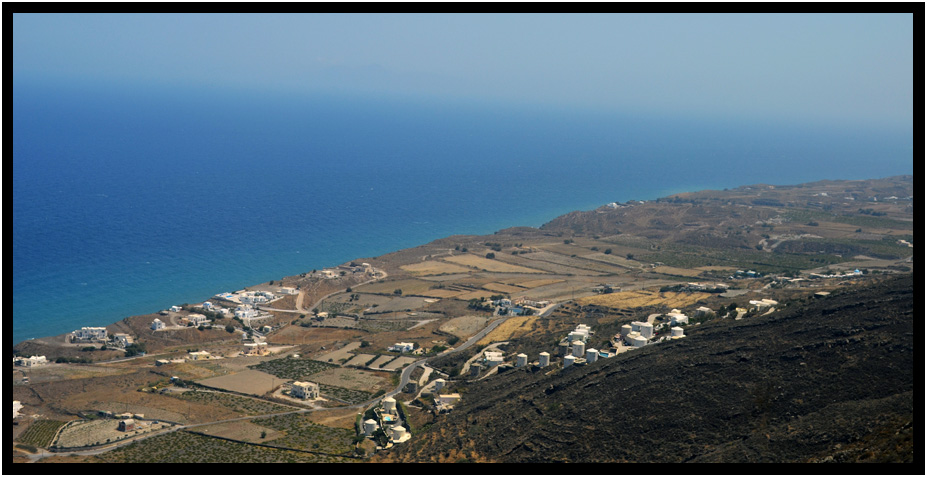
Looking southeast along the lightly populated east side of the island, Santorini, Greece, 2013.
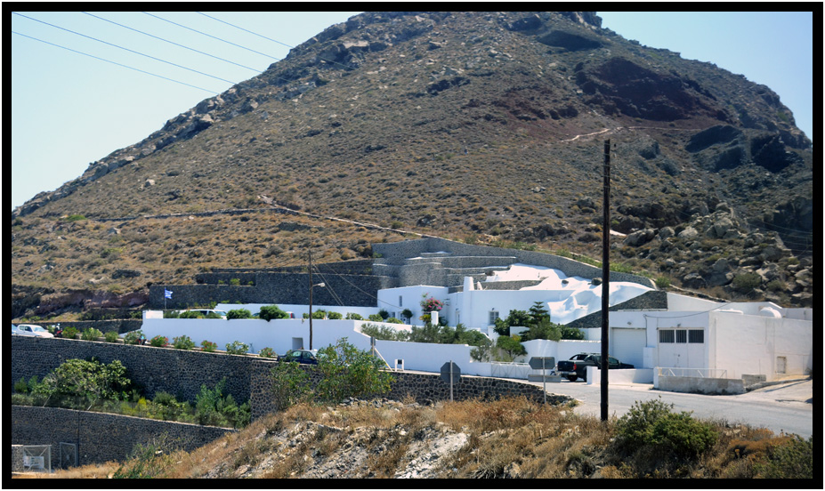
Modern structure on top of the island ridge beTween Thira and Oia, Santorini, Greece, 2013.
copyright d. holmes chamberlin jr architect llc
page last revised march 2020